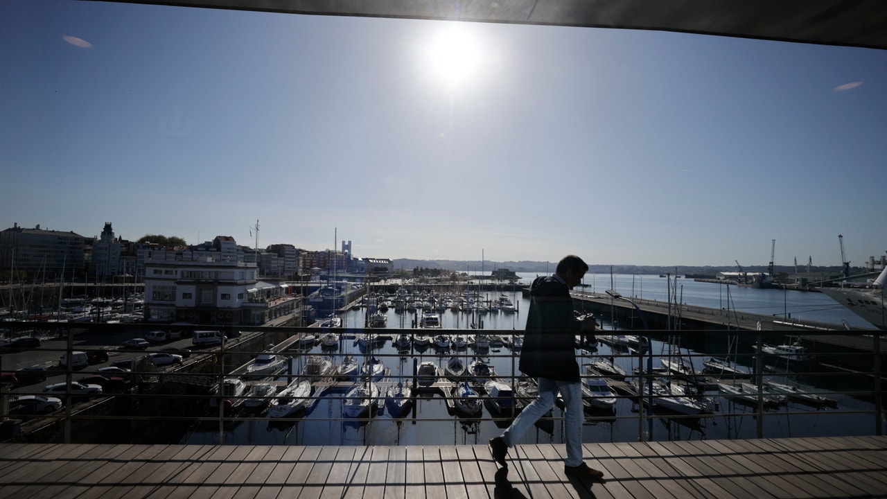
The almost generalized rains and the cold environment for the season have been the protagonists of the last few days. Starting this Thursday, the anticyclone will take hold from the south of the peninsula, although some fronts will still manage to reach the northern half of the country. Temperatures will begin to rise on Friday to record maximums of more than 30 ºC in some areas.
Precipitation, occasionally with storms, will be the protagonists this Thursday May 2 in the northeast of Spain on a day that will bring little change in temperatures, according to the prediction of the State Meteorological Agency (AEMET). Furthermore, they are expected significant accumulations of snow in areas of the Pyrenees. Wave warnings will remain in place in Granada and Almería (Andalusia), as well as in Girona with storm warnings and Lleida for snow, although only until the early hours of the morning.
Thus, in the northeast of the peninsula, the instability at the beginning of the day, with cloudy or overcast skies and rainfall, occasionally with storms, which could become locally persistent or strong in the northeast of Catalonia, and are not ruled out in a dispersed manner in the Balearic Islands. Throughout the day they will tend to subside, although there will be showers again in the afternoon in the north of Catalonia. Cloudy skies are also expected in Galicia with showers on its western façade, and at the beginning of the day also in the eastern Cantabrian Sea.
In the rest, the AEMET predicts that the skies will be slightly cloudy in general, with low morning cloudiness in the northern half of the Atlantic slope, and in the afternoon increasing with abundant cloudiness in large areas of the Peninsula. These clouds will also leave showers, locally in the form of hail, in the Cantabrian and northwest peninsular environmentwithout ruling out other points in the northern half of the Atlantic slope.
As for the temperatures, the maximums will decrease in the Balearic Islands and northern Catalonia, increasing in the rest, more markedly in the interior of the northeastern third and southeastern regions. Likewise, the minimums will decrease in the southern half of the peninsula and areas of the north and northeast, remaining with few changes in the rest. In Valencia they will reach 25 degrees and in the center of the peninsula, capitals such as Madrid and Toledo will not exceed 16 and 18 degrees respectively.
There will be weak frosts in mountain areas, more intense in the Pyrenees and westerly winds will blow in the Peninsula and the Balearic Islands, with a tendency to roll south in the Levant. There may be strong intervals with very strong gusts in the lower Ebro, Balearic Islands, Ampurdán, Alborán and Cantabrian. The snow level will be between 1,000 and 1,400 meters in the Pyrenees and Cantabria, tending to rise to 1,600 meters, with possible significant accumulations in areas of the Pyrenees at first, and not ruled out in the rest of the northern mountains.
a frente will penetrate the northwest of the peninsula on Friday leaving precipitation in Galiciaweak and scattered at first, and more intense in the afternoon, when it is expected that extend to other regions of the northwest of the peninsula and the Cantabrian environment. Maximum temperatures will increase throughout the country, although less markedly in the north, Mediterranean coasts and the Canary Islands. The minimum temperatures will also increase, although generally slightly, and more markedly in Andalusia and in the north and northwest of the peninsula. The thermometers will read between 23 and 26 degrees in Zaragoza, Valencia, Seville, Murcia, Málaga, Castellón, Cáceres and Badajoz, among other capitals; At night, The minimum will drop to 2-5 degrees in the capitals of Castilla y León.
During the weekend Temperatures will normalize and may even be warm in the east, with maximums that in the eastern third could be between 5 and 10 degrees above normal. The highest temperatures will occur on Saturday and Sunday in the south of the Valencian Community (Alicante and Valencia) and in the interior of the Region of Murcia, they advance from Meteored. “In these areas they will exceed 30-32 ºC, locally even 33-34 ºC with a fully summer atmosphere. “They will also touch or reach 30 ºC in the Guadalquivir valley, interior of Málaga, Granada and southern slopes of Gran Canaria.”

