
The State Meteorological Agency (AEMET) has issued a notice confirming the return to a fully winter setting in large areas of the country for this day. The passage of a front already in the process of dissolution over the eastern half of the Peninsula will be responsible for a change in weather that will be especially noticeable. intensity in the northeastern third, where maximum temperatures will experience a notable decrease.
The prediction for today indicates that, although the front arrives weakenedits influence will be enough to completely alter the meteorological dynamics, leaving behind the mild afternoons to recover sensations more typical of January or December.
The heavens will generally present themselves with cloudy intervals in the Peninsula and the Balearic Islands, with a predominance of medium and high clouds that will not prevent, however, the formation of low cloudiness during the first hours.
This morning fog and mist will affect the northern half, the interior of the eastern third and the Mediterranean coasts. Regarding rainfall, it is expected light rains but scattered throughout the eastern half of the country, the Cantabrian Sea, northern Galicia and the western coasts of Alborán.
They will be more persistent in the Eastern Cantabrian and in the northern Pyreneeswhile in the Béticas some showers that could be accompanied by storms locally are not ruled out.
Mercury will fall in a generalized way, the decrease being less pronounced in the southwest peninsular, but very notable inside the northeastern third, where the drop will be greater than six degrees.
Minimum temperatures they will also go down in the northwestern half and will rise slightly on the eastern and Balearic coasts. This thermal collapse will be accompanied by weak frosts, which will mainly affect the mountains of the northern half and nearby areas.
Calima and strong winds in the Canary archipelago
The panorama in the Canary Islands will be very different, but equally adverse, lThe presence of an isolated cold low near Africa will cause a complex situation on the islands.
Mostly cloudy skies are expected on the islands of greatest relief, where rains that may be weak to moderate. In the rest of the archipelago the sky will be less overcast, although some rainfall is not ruled out in the north of the eastern islands. A notable phenomenon will be the presence of haze, which will mainly affect the islands and could also make an appearance in the south of the peninsula, coloring the sky in a hazy tone and reducing visibility.
The wind will blow with prominence in both areas of the country. On the Peninsula, the wind will be weak from the north and west on the Cantabrian and Atlantic slopes, although it will tend to swing towards the east throughout the day.
The Cierzo and the Tramontana will start the day with intensity moderateand intervals of moderate wind are expected on the North plateau and in eastern areas of the South plateau.
On the coasts, the wind will be moderate and the northern component, special attention deserves the Strait and Alborán, where wind intervals will be recorded strong.
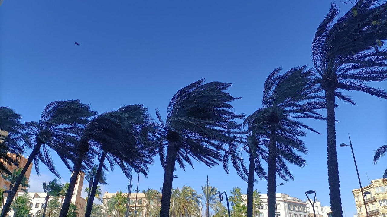
In the Canary Islands, the wind will be the main protagonist, it will blow from the north with moderate intensity, but with strong intervals and very strong gusts, which could exceed the 70 kilometers per hour, in the most exposed areas, which raises the alert level in the archipelago.