
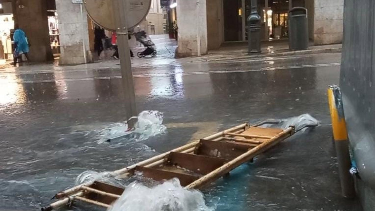
The passage of an Atlantic trough will affect on Wednesday the Eastern Peninsular and Balearic Islands with cloudy skies and locally intense rainfall, according to the prediction of the State Meteorology Agency (Aemet). Mallorca is at risk due to rainfall and storms that could reach 25 liters per square meter in a hour, while in Gerona they are expected up to 20 l/m2.
On the other hand, The passage of an Atlantic Front will leave cloudy skies in the northwest peninsular half, with generalized rains in Galicia, Cantabrian and nearby areas, which will be abundant in areas of the west Galician.
During the afternoon An occasional isolated showers are not ruled out on the Northern Plateau, northeast of Catalonia and Balearic Islands, with the possibility of being locally strong in Ampurdán and Mallorca. In the rest of the country, cloud intervals are expected, while the southern and southeast peninsular will remain with little cloudy or clear skies.
At the moment, strong rainfall has already caused 95 incidents in the Balearic Islands Throughout Tuesday and early Wednesday, most of them related to Low floods and tree falls, As reported by 112. The vast majority of incidents have occurred in Mallorca, with 92 notices, while in Menorca two have been managed, and in Ibiza, one.
Maximum and first frost temperatures in the Pyrenees rise
The maximum temperatures will rise in the Thirds North, East and South, and there will be no major changes or descend in the rest of the country. Regarding the minimums, they will increase accused in the west and descend in the eastern and Canary Islands mountainous, without major changes in the rest. The first frosts in the Pyrenees are not ruled out.
On Thursday the anticyclone is imposed, but it will continue raining in these areas
On Thursday there will be an anticyclonic situation in almost the entire country, with a generalized promotion of temperatures. However, the peninsular north will continue under the influence of Atlantic circulation with very cloudy skies and rains and showers, occasionally with storms, more abundant and persistent in Galicia and in the western Cantabrian.
In the rest of the Peninsula, cloudy intervals will predominate, especially during the morning, without discarding some weak rain in areas of central and Iberian systems, and west peninsular. To the south and the east peninsular the heavens will be clearer. As for temperatures, a general promotion is expected except for the minimums at the peninsular northeast end with slight changes or in slight decrease.
Instability again on Friday in the Northeast and Balearic Islands
Friday will come with A new Atlantic circulation that will leave instability in the Mediterranean area North with showers and isolated storms in Catalan coastlines, without ruling out Balearic Islands. Maximum temperatures will descend at the northern and east of the Peninsula and will increase in the southern and Canary Atlantic slope.