
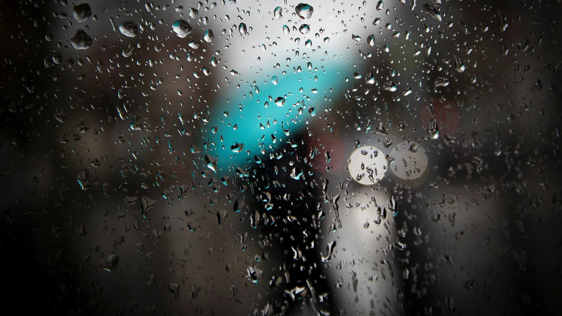
The State Meteorological Agency (AEMET) foresees the arrival of a change in weather starting on Sunday with the entry of a front that will bring rains and a drop in temperatures. However, the heat will still refuse to say goodbye in much of Spain during the weekend, with values between 5 and 10 degrees higher than normal and maximums that will still reach 40 degrees in the Guadalquivir valley.
According to the AEMET spokesperson, Rubén del Campo, the weather will remain stable in general until Sunday, when the First rainfall could affect Galicia, Asturias and nearby areass.
40 degrees still this weekend
He Saturday the temperatures will descend in a good part of the countryalthough there will still be between 30 and 32 degrees in large areas of the north and more than 35 in much of the southern half and Gran Canaria. In the Guadalquivir valley, between 38 and 40 degrees could be reached again.
He Sunday The thermal decrease will continue in Galicia, the center and the southern half, while temperatures will rise in the Cantabrian Sea. Even so, 32 degrees will be exceeded in the southern half of the peninsula, as well as in some parts of the eastern Cantabrian Sea, the Ebro valley and areas of the Canary Islands.
The first rains will arrive on Sunday
The situation will begin to change on Sunday with the arrival of a front to the northwest, which could leave rainfall in Galicia and Asturias. In the rest of the country dry weather will continue to predominate.
More instability from Monday
It will be from Monday when the scenario becomes more unstable. Del Campo has indicated that there is still uncertainty in the forecast for next week, although he considers it likely that Temperatures continue to drop and approach the values typical for these dates.
The presence of a deepest storm in the Atlanticwhose trajectory is not yet completely defined, could favor this change in time.
On Monday, cloudier skies and rougher weather are expected in much of the Peninsula, with showers that could be locally strong and appear in different points, although they would be more likely in the west and in the Mediterranean area. In Galicia and the Cantabrian communities, southerly winds could cause a rise in temperatures and leave very strong gusts.
Multiple fronts in the middle of the week
He Tuesday there will come a new front to the northwest, with rains in Galicia, Asturias, the north of Extremadura and the west of Castilla y León, as well as showers in the central area, the Mediterranean area and the northeast. Temperatures will continue to drop in the north.
For Wednesday, the advance of the front could leave rain in a good part of the Peninsula, except in the eastern third. That day temperatures will drop especially in the north and west.