
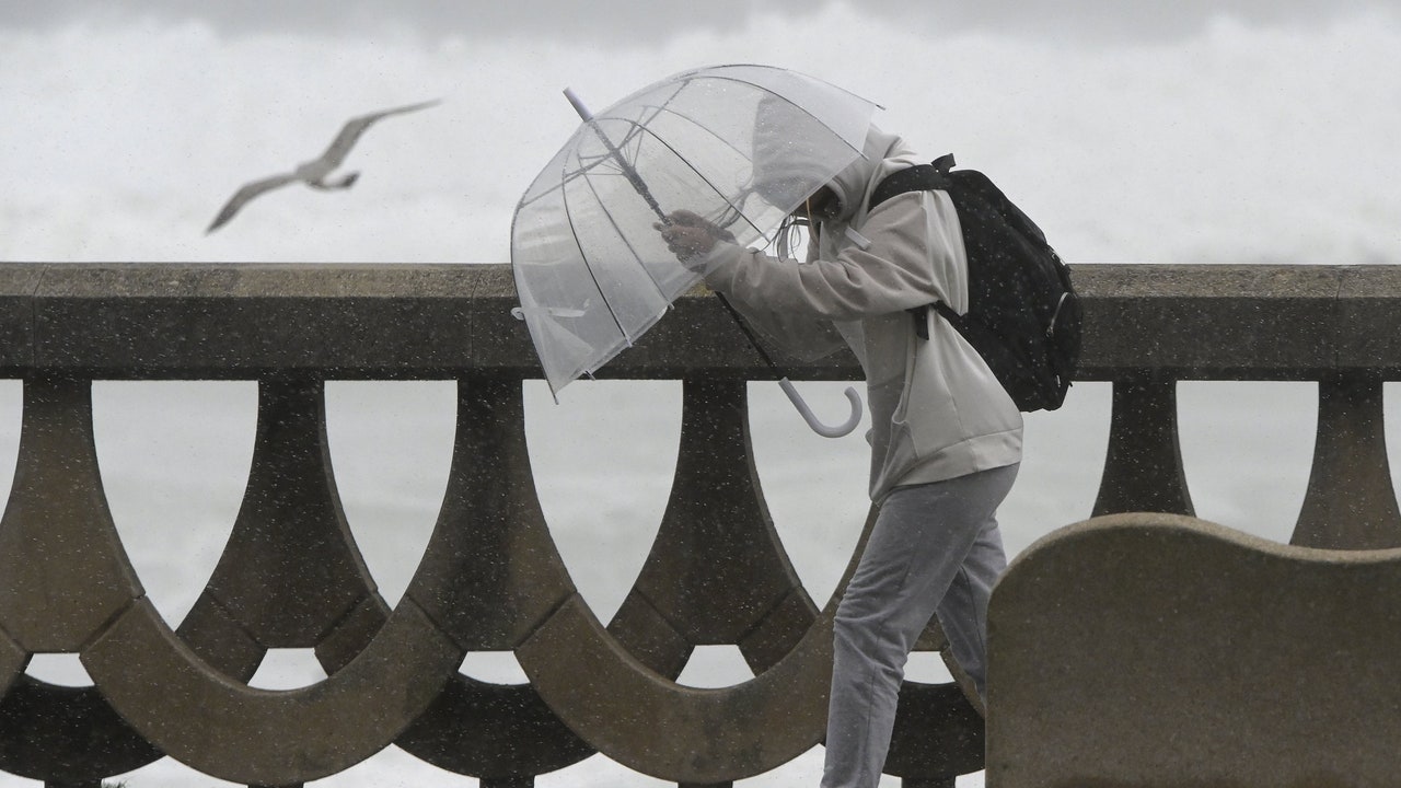
The week starts with atmospheric instability and almost winter atmosphere in a good part of Spain . This Monday, locally heavy rainfall will continue in Catalonia and the Balearic Islands, communities with yellow warnings for rain and storms. They will arrive on Tuesdaynew fronts across the Atlantic that will irrigate large areas of the country with rain until Thursday.
This last Monday of April will leave rain in the eastern half of the peninsula, which will be locally strong or persistent in Catalonia, in the east of Aragon and in the Balearic Islands, where instability is expected to continue, with overcast skies, precipitation and the occasional storm. , according to the prediction of the State Meteorological Agency (Aemet).
Barcelona, Girona and Tarragona have activated yellow warnings for rain and storms, as well as in the Balearic Islands, Almería, Granada, Albacete and Murcia. In the rest of the Peninsula, cloudy intervals are expected, less cloudy in the southwest, and some daytime cloudiness, with the possibility of some weaker showers. At the end of the day, a front system will increase cloudiness in the west of the peninsula, with probability of precipitation in Galicia. Snow levels on the Peninsula will be 1,500/1,700 m in the northwest, 1,700/1,900 m in the northeast, and about 2,000 m in the rest.
Maximum temperatures, which will be around 22ºC and 23ºC, will increase in the western half of the peninsula, although they will decrease in the eastern third. The minimum temperatures will be between 0ºC and 4ºC and will decrease in areas of the southeast and Galicia., tending to increase in the northeast quadrant. In addition, there will be frost in the mountain areas of the northern half.
Tuesday will leave rain throughout Spain
They will arrive on Tuesday new Atlantic storms with associated fronts that will leave rain in a good part of Spain. During that day, the most abundant rainfall will be especially in the northwest of the peninsula and in Catalonia, although with regard to this autonomous community, rainfall will be less abundant than in previous days.
In the northwest of the peninsula, in the central strip of the peninsula and around the Pyrenees They have the highest chance of precipitation on Wednesday. At the other extreme, there will be little probability of precipitation in the Levante area and the Balearic Islands. That day the temperatures will be especially cool for the season. Daytime values will drop between 5 and 10ºC below normal in large areas of the interior. FromThursday and during the second half of the week, the AEMET predicts that high pressures will prevail and that the rains will be restricted to the northern third of the peninsula. In addition, temperatures will experience a progressive rise.
The weather for the May long weekend 2024
For its part, Eltiempo.es warns of a “carousel of fronts that will water Spain” Facing the may bridge. Thus, he points out that the models indicate that On Thursday the showers could continue in the northern half of the peninsula and the Balearic Islands since another front could enter Galicia between Friday and Saturday.
In turn, the meteorological portal indicates that Galicia, Asturias, the north of Aragon, Catalonia and even points in the north of Mallorca could be the areas where the most liters accumulate during the next few days. Likewise, it indicates that the probability of rain reduces as one approaches the southeast of the peninsula. Thus, until Wednesday, the east of the Region of Murcia, Almería and the coast of Granada and Malaga could be the areas of the country that collect the fewest liters.