
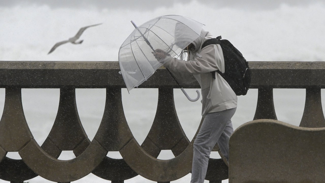
The arrival of an Atlantic storm will leave heavy showers in the country on the last weekend of April, especially this Saturday, and snow from 800-1,000 meters. The atmosphere will be cold, especially in the northwest, where the Maximum temperatures will be between 5 and 10º lower than normal for the season, as explained by the spokesperson for the State Meteorological Agency (Aemet), Rubén del Campo. Next week will also begin with rain in the east of the peninsula and the Balearic Islands, which could be abundant in Catalonia, one of the communities most affected by the drought.
The effects of the storm You will especially notice this sSaturday with rainfall in large areas of the country, which in the last few hours will also reach the Balearic archipelago. lThe rains will be abundant in the north of Galicia, Asturias, points of the central system and especially in the Pyrenees. The chances of precipitation will be lower in southern Aragon, the Valencian Community, the Murcia region and eastern Andalusia. For its part, the snow level will be between 800-1,000 meters in Galicia, Asturias and Castilla y León; about 1,400 meters in the central system, and between 1,600-1,800 meters in the Pyrenees. As for the temperatures, The maximums will drop in almost the entire territory, except in the eastern Cantabrian Sea, the Mediterranean and the Balearic Islands, where they will rise. According to AEMET data, up to 20º will be reached on the Basque coast and 23º in the Mediterranean. On the other hand, cities like Oviedo, Lugo or León will barely be around values between 11-13º.
Instability will continue Sunday in the eastern third of the peninsula and in the Balearic Islands, with more probable and intense rains and showers in Catalonia and the Balearic archipelago. It will snow in the mountains from about 1,000/1,500 meters in the northwest and from 1,500 to 2,000 meters in the east. Night temperatures will drop, with possible frost in mountain areas, without ruling out points on the northern plateau and in the center. On the shores of the Mediterranean, the Ebro depression and the Guadalquivir Valley, the maximum temperatures will be between 22 and 24 degrees, while in cities in the center of the peninsula such as in León, the minimum that day will be -1º.
He Monday instability will be focused on the east of the peninsula and the Balearic Islands, with rains and showers that could be strong in Catalonias. In this region, more than 40 or 50 liters per square meter could accumulate. As explained by Del Campo, although these rains will help to “partially alleviate the drought” that is shaking the territory, they will not be enough to completely resolve it. “It should rain a lot more”. Regarding temperatures, they will decrease in the east, notably in Aragon and Catalonia, while in the west the values will rise.
From Tuesdaylow Atlantic pressures will enter, leaving widespread rainfalls. The largest accumulations will be recorded in the extreme north of the peninsula and around the Strait, being less likely in the southeast and the Balearic Islands. In addition, they will occur in the form of snow in the mountains of the northern and southeastern half of the peninsula, without being ruled out in lower surrounding areas, and with possible significant quantities in the Pyrenees. Although there is still ample uncertainty, the AEMET predicts that instability will tend to lessen throughout the week, with rainfall becoming less and less likely and becoming more limited to the north of the peninsula.