
The State Meteorological Agency (AEMET) has drawn a map of thermal contrasts for the day of Sunday. While the northern half of the peninsula will experience a respite in the mercury, in the south a heat that far exceeds the usual records of the time.
Atmospheric stability will be general tonewith clear skies dominating, although a tongue of high cloudiness will penetrate from the northwest peninsular to obscure the sun in some points. The exceptions will arrive in the first hours in Galicia, the Cantabrian area, the upper Ebro and the north of the Iberian system, where low clouds and morning fog banks will give way to clearings as the morning progresses.
They are also expected cloudy intervals in the north of the Canary Islands, as well as in Menorca, the Catalan coast and the Alborán coast, where coastal mists cannot be ruled out.
Showers with hail in the eastern third and thermal relief in the north
According to the forecast, the afternoon will bring with it evolution cloud growth in the eastern third of the peninsula, an ingredient clue for the formation of showers and storms. The most conflictive points will be in the Pyrenees and in the eastern sector of the Iberian Peninsula, where there is a probability that rainfall will reach locally strong intensity and be accompanied by hail.
The agency does not rule out that some other mountainous area in the eastern peninsula may also experience isolated storms. At the same time, the thermometers will register a decrease in maximum temperatures throughout the northern arc, a decrease that will be notably noticeable in regions of the central north, with the exceptions of Galicia, the Cantabrian coasts and Catalonia, where values will remain unchanged or even rise slightly.
At the opposite extreme, the coasts of Andalusia, Melilla and Ceuta will see the maximums rise, while in the rest of the country insignificant variations will predominate. The minimums will present a similarly disparate trend: they will fall in the northwest half, they will rise in Andalusia and they will barely move in the other areas.
Tropical nights and a south that flirts with 40 degrees
Despite the northern thermal cutout, the warm episode is still far from become extinct. Temperatures will remain at high values for the dates, so that in much of the interior of the southern half and in the depressions of the northeast the temperatures will be easily exceeded. 34 to 36 degrees.
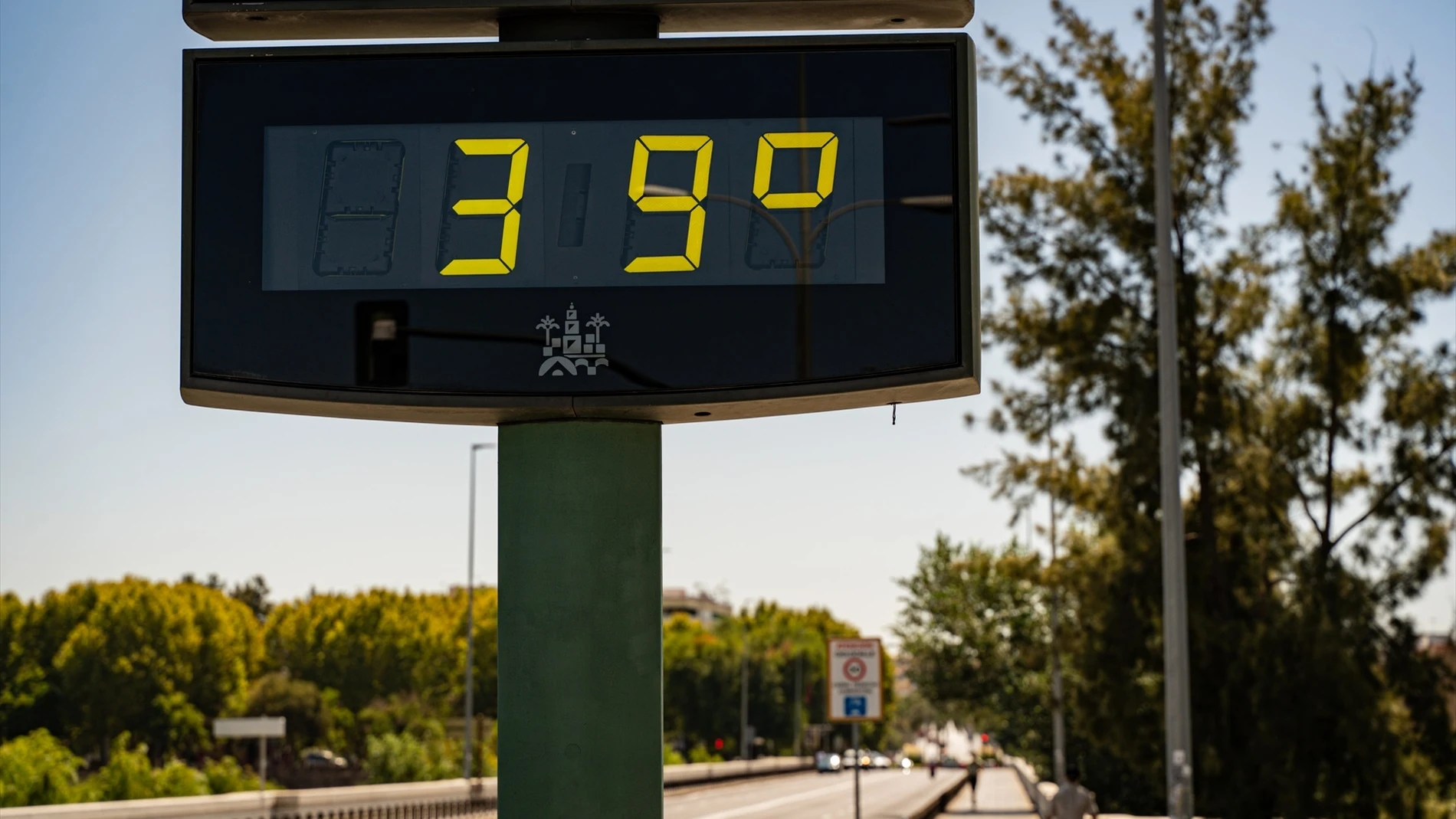
The most extreme situation will be experienced in the basin of the Guadalquivirwhere the mercuries will exceed the 38 degrees and may reach 40, a threshold that turns the Andalusian valley into the focus of the peninsular heat. The early morning hours will not offer any real respite in many urban centers either: the minimum temperatures will remain above the 20 degrees in central regions, of the third south and of all the Mediterranean coast, drawing a scenario of tropical nights that make rest difficult.
In the plane of the wind, the trade winds will blow with strong intervals and very intense streaks In the Canary Islands, the north will be felt moderately on the Galician Atlantic coasts and, in the rest, the component will be weak but will tend to worsen in the afternoon. Directions will predominate south and east in the Mediterranean, the north in the Cantabrian strip and the west in the rest of the peninsula, completing a Sunday of contrasts that forces extreme caution both on the beaches and in the hottest interior.