
He time change It is being noticed these days and in addition to the rains that the Atlantic storm is leaving us with, the temperatures have dropped sharply. The State Meteorological Agency (AEMET) predicts that the humid spring environment continue in the northern half of the peninsula, the Canary Islands and the Balearic Islands until the end of the week, and anticipates that the temperatures will be more typical of April than May. When will the thermometers rise again?
This Thursday May 16 Rainfall will threaten the northern half of the peninsula, on a day that will bring a slight drop in temperatures in almost the entire country. In addition, the warnings for precipitation and storms in Gerona, Barcelona and Tarragona, although only until the early hours of the morning. However, in Gerona they are expected to persist until after the afternoon. Likewise, they are expected intervals and gusts of strong wind in the Canary Islands, Alboran and the coasts of northern Galicia and the western Cantabrian Sea.
Likewise, they are expected rainfall from the early hours in Asturias and Galicia, which in the afternoon will tend to spread to other regions of the northern third. The rains will be more abundant in the northwest of Galicia and may be persistent on the coast. Furthermore, they are not ruled out, at first, in points on the Cantabrian slope, upper Ebro and the Pyrenees.
In the afternoon, rainfall will tend to intensify and spread to other regions of the northern third., also being probable, occasionally, in the rest of the northern half, southwestern regions and in the Balearic Islands, where cloudy intervals will predominate. They may be accompanied by some storm in the northeast of the peninsula.
For its part, the snow level will be between 1,500 and 2,000 meters in the Pyrenees, and, with less probability, around 1,600 to 2,000 meters in the Cantabrian region and other mountains in the northern half.
As for the thermometers, the AEMET hopes that the maximum temperatures increase slightly in the northwest half of the peninsula and in the Balearic Islands, more markedly on the coasts of the Valencian Community, northern Balearic Islands and areas of Extremadura.
On the other hand, it is expected that they will tend to decrease slightly in the rest, that the minimums will increase in the northern plateau and Extremadura, decreasing slightly in the rest. Frost is expected in the Pyrenees and, with low probability, in other mountain areas of the Peninsula.
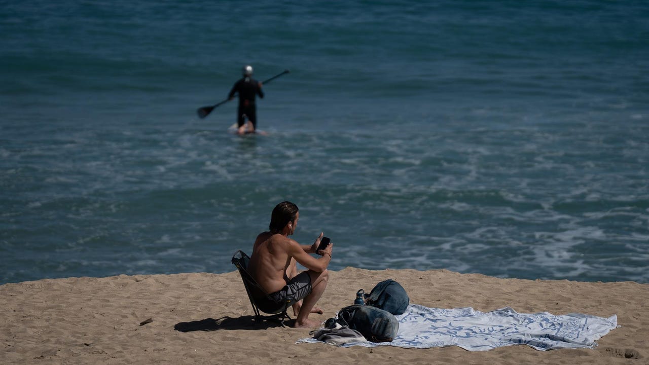
He Friday a gentle but continued thermal rise will begin that will gradually bring the temperatures to values typical of these dates. In fact, Sunday will probably already Temperatures will exceed 20ºC in most of the country and 25ºC in the south of the peninsula and the Balearic Islands.
Meanwhile, in the extreme north of the peninsula, evolution clouds will grow in the afternoons, leaving stormy showers in mountain areas of the Peninsula and the Balearic Islandsgenerally not too intense.
On the other hand, Meteored adds that Over the next week temperatures could be between 1 and 3 ºC above average on the Mediterranean slope and in areas such as the Ebro valley, eastern Cantabrian, Pyrenees, central points, Mallorca and Menorca.
The other side of the coin would be found in areas of Galicia and in a large part of the western peninsula, where no significant thermal anomalies have been observed for the time. In the Canary Islands, the Pitiusas and in the south of Andalusia the values would be somewhat above average.
On the other hand, the meteorological portal explains that Precipitation could be below average values in areas of the southeast, Mediterranean coast and the Balearic Islands., but this does not rule out that it could rain. In the rest, no significant anomalies have been observed for now.