
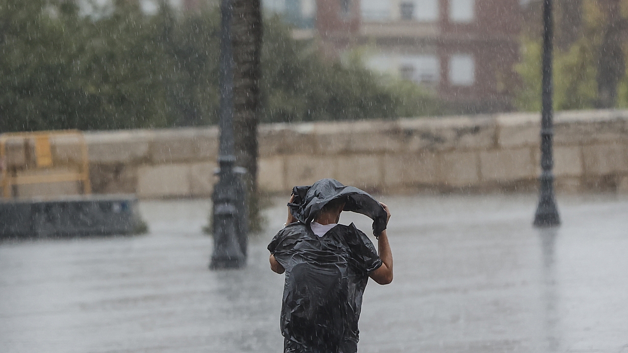
All eyes are on the anticipation of this Holy Week 2024 because instability will return to Spain in the next few hours due to the entry of a DANA through the Atlantic that will leave precipitation, some with stormy showers and in several areas of the country and “blood rains.” Looking ahead to next weekend there will be a drop in temperature and rain, but, according to the forecast of the State Meteorological Agency (Aemet), it is likely that temperatures will rise and the weather will stabilize coinciding with the first days of the holiday period.
This Tuesday, the astronomical winter says goodbye, since spring will arrive at 4.06 (peninsular time) this Wednesday, with a fully spring atmosphere in many areas of the country, with many hours of sunshine and temperatures more typical of May or June than mid-March, which It will be between 5 and 10 degrees above usual, even more than 10 degrees in parts of the southeast.
Thermometers will rise in areas of Aragon, Castilla-La Mancha and the Community of Madrid, and will fall in Galicia, the Cantabrian provinces, Andalusia, Murcia and Girona. 24 or 25 degrees will be exceeded in a good part of the center, south and east of the peninsula and even 27 or 28 in the interior of Andalusia, the Valencian Community and the region of Murcia, whose capital will be around 31 or 32 degrees.. The minimums will have few changes but will decrease in the western third, with increases predominating in the rest, slight decreases in the Canary Islands and weak frosts in the Pyrenees.
In the north of the peninsula, a greater instability, without ruling out locally moderate showers, occasionally accompanied by a storm, in the area around the eastern Cantabrian Sea and western Pyrenees in the early hours. In the afternoon, the showers will reactivate again, the result of the diurnal evolution, when they could affect mountain environments in the northern half and eastern third of the peninsula, also with storms, and more likely and intensely in the north of Catalonia. In the Canary Islands there will be haze in the east tending to become less, and also being probable in the eastern half of the peninsula.
He Wednesdaywith the entry of a DANA through the Atlantic, instability will increase leaving precipitation, some with stormy, locally heavy showers, especially in the interior of the peninsula, in areas of the northern third of the Peninsula and possible showers in other areas, especially in the center and east of the peninsula, explains Aemet spokesperson, Rubén del Campo. The center of DANA will probably be located southwest of the peninsula, which will cause a drop in temperatures In the west of the peninsula and in the Mediterranean area and in areas of Galicia and the Cantabrian Sea it will not reach 18 degrees, although in the Ebro depression, the central area and especially in the interior of the southern half, it will continue to exceed 24 or 25 maximum degrees.
He Thursdayalthough DANA will probably move away towards the Canary Islands, it could still cause scattered showers on the peninsula and the Balearic Islands, less likely the further west and in addition the southerly winds will arrive loaded with suspended dust leaving haze on the peninsula and also in the Balearic Islands, with showers accompanied by muda phenomenon known as “rains of blood“. Temperatures will rise in the northwest of the peninsula and will fall in the southeast.
He Fridayand also in view of the weekend, the uncertainty in the forecast increases considerably with a day that will be stable, with a warmer atmosphere, especially in the middle of the south, where temperatures could occasionally exceed 30 degrees. In the Canary Islands, starting on Thursday or Friday the DANA will give rise to showers, especially in the north of the islands.
He Saturday and Sunday, the passage of a front that will mainly affect the north of the peninsula, will leave rain especially in the northern half, without ruling out rain in the Mediterranean area and the Balearic Islands, with snow in the mountains and a marked drop in temperatures that will normalize for the season , or even they will be cold, in points of the northern half, without ruling out frost. As for the first days of next week, a thermal rise could return, with a predominance of the anticyclone and absence of rain at the beginning of Holy Week.