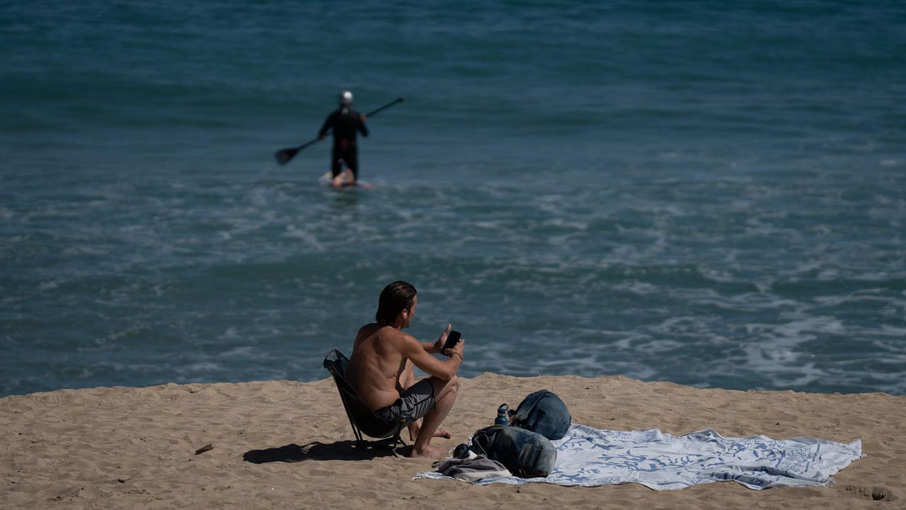
Stable weather will be imposed this Wednesday, with sunny skies and more than 25 degrees in half of Spain, while the thermometers continue their climb for another day. Areas of the Canary Islands and valleys of the southwest of the peninsula will exceed 30ºC on a day with Cádiz and Girona with warnings for waves, according to the prediction of the State Meteorological Agency (AEMET).
In general, maximum temperatures will tend to increase, notably in areas of the northern third of the peninsula, and decreases will predominate in the extreme southeast of the peninsula and the Strait. Meanwhile, the minimums will rise in the west of the peninsula, the Pyrenees and the Canary Islands and will decrease in the Cantabrian Sea and southeast of the peninsula, with few changes in the rest. The highest values in the entire Peninsula will be in Seville (32ºC), Córdoba (31ºC) and Badajoz and Huelva (30ºC). It will soften especially in San Sebastián and Santander (18), Burgos and Vitoria (19), and Cuenca and Oviedo (20).
On the other hand, the state agency provides anticyclonic weather in almost the entire country, with a predominance of slightly cloudy skies or high clouds. However, cloudy skies will predominate with pweak precipitations in the eastern end of the Cantabrian Sea and areas of the Pyrenees during the first half of the day. Except in the central Pyrenees, they will tend to subside and remain slightly cloudy. In addition, it also foresees intervals of low morning clouds in other regions of the northeastern third of the peninsula, the Cantabrian Sea, northern Galicia, the Strait and Melilla; and in the afternoon intervals of evolving clouds in the northeast of Catalonia that could leave some scattered showers.
Likewise, during the first half of the day there will be showers accompanied by storms in the east of the Balearic Islands. Although there are chances that they will reach strong in the early morning, they will also tend to subside. In turn, AEMET picks up light frosts in the Pyrenees and does not rule out weak snow in the mountain range from 1,600/1,800 meters (m) during the first hours of the day.
Finally, winds will blow from the north and northwest in the northeastern third of the peninsula and in the Balearic Islands, and the northern and eastern components will predominate in the rest of the Peninsula and in the Canary Islands. In addition, there may be strong intervals or very strong gusts, from the north wind in Empordà and the north of the Balearic Islands and from the east on the coasts of northern Galicia and in the Strait.
He Thursday Temperatures will be rising again. This rise will be more pronounced in the northern third of the peninsula, when values of up to 6ºC higher than those of Wednesday will be recorded. Thus, temperatures will exceed 30ºC in the Guadiana and Guadalquivir valleys and around 28 to 30ºC in areas of the center and the rest of the southern half, such as in cities such as Madrid, Toledo or Ciudad Real. Likewise, between 28 and 30ºC will also be reached in northern and central cities such as Ourense, Pontevedra, Teruel or Zaragoza.
He Friday Thermometers will continue to rise, especially at night. That day, temperatures will generally exceed 25ºC and 30ºC in the Ebro Depression, within the Mediterranean communities, central areas, such as Madrid, and in much of the southern half. In turn, the Guadalquivir and Guadiana will exceed 32ºC on Friday. On the other hand, there will be no rain except for some isolated showers that could fall in the afternoon in mountain areas in the north of the Peninsula.
Facing the weekend, it is most likely that stable weather will predominate, although the AEMET admits that there is some uncertainty in the forecast. Regarding temperatures, it points to a drop in values in the northern third of the peninsula during Saturday, which would be pronounced in the Cantabrian Sea. Meanwhile, in the rest of the country the warm atmosphere will continue, especially in the east and south. Temperature values of between 5 and 10ºC above normal for this time of year will be recorded in large areas of the territory. In some points in the interior they could even exceed 35 degrees.

