
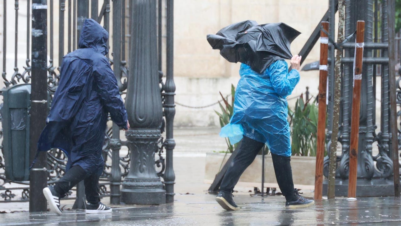
The May long weekend will be under water in Spain. A new Atlantic storm will send more fronts and rains in large areas of the country, especially from the Mediterranean area and the northeast and northwest of the peninsula. The general atmosphere will be cold for the season. How long is it going to rain? Where will it be warmer?
A front associated with said storm will enter Galicia this Tuesday. It will advance towards the east andThe rainfall will extend to the Cantabrian communities, Castilla y León, Extremadura and Western Andalusia. In addition, according to the prediction of the State Meteorological Agency (AEMET), Almería, Granada and Málaga (Andalusia) and the east, south and west coast of Tenerife will be on warning for waves.
Maximum temperatures will fall in the western third of the peninsula and rise in the eastern half, notably in areas of the Cantabrian coast. In addition, the minimum temperatures will increase in the northwest and decrease in the northeast. In this way, the highest values in the entire country will be recorded in Murcia, Bilbao and Zaragoza (24ºC); Santa Cruz de Tenerife, Las Palmas de Gran Canaria, Málaga, Logroño and Córdoba (23ºC); and Valencia and Almería (22ºC). The snow level will be around 1,100 meters in the northwest.
He Wednesday, May 1 and national holiday, low pressures will continue with almost widespread rain and stormsmore abundant in the surroundings of the Estrait, central Andalusia, Cantabrian Sea, northern Galicia and northeastern Catalonia, and less likely the Balearic Islands and the southeastern coasts. That day it will snow from only about 900 meters in the northwest and about 1,000 to 1,500 meters in the rest of the northern half with accumulations of more than 5 centimeters in the Cantabrian Mountains and the Pyrenees.
Regarding temperatures, they will drop in almost the entire country. On the Mediterranean coast, the Balearic Islands and in the west, daylight hours will be between 5 and 10 degrees below normal for the time of year and only 25 degrees will be exceeded in isolated points of the Mediterranean, while in the cNorthern and western cities will remain below 15 degrees.
He Thursday May 2 We will continue under the influence of low pressures. could occur stormy showers in large areas of the northern half, which will be snow from only about 800 meters in the northwest and about 1,000 to 1,400 meters in the rest of the northern half, with accumulations of 5 centimeters of snow in the Pyrenees.
This day, holiday in the Community of Madrid, It will be a day now without rain in areas of the Balearic Islands, east and south of the peninsulato. It will dawn cold and it will freeze not only in mountain areas, but also in parts of the northern plateau and central moors. In Burgos, León, Valencia or Vitoria it could dawn at below zero.
From Friday it is likely that the anticyclonic weather. That day evolution clouds will form with stormy showers in the north of the Peninsula and it will still be a cold day for the time of year with mountain frosts Already in el weekend, the rains would be limited to the extreme north of the peninsula, although they are not ruled out in other areas. He Saturday and Sunday will be days with temperatures more typical of these dates or even warmer than normal at the eastern end of the peninsula. They could even exceed the 30ºC in points of the Mediterranean communities.