
He first weekend In May the weather will be more stable although in several parts of Spain it will be necessary to take out the umbrella. The arrival of a front fed by an atmospheric river It will leave large amounts of rain in some areas. Likewise, a mass of warmer air will enter and temperatures will increase in most of the country.
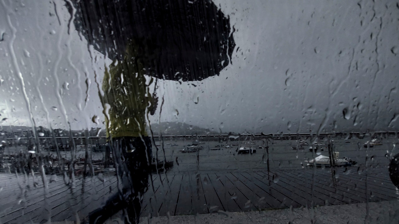
A front associated with an Atlantic storm will penetrate the northwest of the peninsula this Friday, leaving rainfall in Galicia, which will tend to intensify in the afternoon, when they can spread weakly to other regions of the northwest third. The front will be accompanied by an atmospheric river leaving a notable episode of rain in the Galician community.
“For a few hours, the aforementioned river will connect the northwest of the peninsula with the tropical Atlantic. It will be a kind of conveyor belt of temperate air and humidity that will favor the development of clouds,” reports from Meteored. In this way, it will rain persistently and abundantly in the north of the province of Pontevedra and also in the province of A Coruña. The rainfall will also affect Asturias, west of Zamora and northwest of the province of León.
In the northern half of the Atlantic slope there will be intervals of low morning clouds in the early hours and slightly cloudy skies in the rest, with an increase in cloudy skies from west to east affecting the northern half of the peninsula as the front advances, and at intervals of clouds high in the south. The AEMET does not rule out occasional showers in the afternoon in the Pyrenees and the north of the Balearic Islands, where slightly cloudy skies will predominate. The snow level will be 1,500/1,700 meters, rising to 2,000 meters in the Cantabrian mountain range, and between 1,700 and 2,000 meters in the Pyrenees.
Temperatures will rise in almost the entire country, especially during the day, less markedly in the northwest of the peninsula and the Canary Islands.. The receding frosts are expected to be weak in the main mountain systems of the northern half, and more intense in the Pyrenees. The thermometers will read between 23 and 26 degrees in Zaragoza, Valencia, Seville, Murcia, Málaga, Castellón, Cáceres and Badajoz, among other capitals. Light or moderate southwest winds will predominate in the Peninsula and the Balearic Islands, except in the Cantabrian Sea and the extreme northeast of the peninsula, where they will be of variable direction. It will increase to strong throughout the day on the northwest coast of Galicia.
During the weekend Atlantic fronts will continue to arrive, affecting the northern half of the peninsula. On Saturday the rains will spread across the northern plateau, upper Ebro and Pyrenees, and on Sunday they will reach inland areas of the northern Mediterranean area and the southern plateau. Precipitation will continue to be persistent in the western half of Galicia, to which will be added a storm of intense wind. Temperatures will rise on Saturday and remain stable on Sunday. The highest values will occur on Saturday and Sunday in the south of the Valencian Community (Alicante and Valencia) and in the interior of the Region of Murcia, advance from Meteored. “In these areas they will exceed 30-32 ºC, locally even 33-34 ºC with a fully summer atmosphere. They will touch or reach 30 ºC also in the Guadalquivir valley, interior of Málaga, Granada and southern slopes of Gran Canaria”
The Next week will begin with an Atlantic front affecting the eastern half of the peninsula and the Balearic Islands, with precipitation in the Cantabrian Sea, the northeast and the Valencian Community, and without ruling them out in the afternoon in the form of weak showers in large areas of the rest of the Peninsula. The showers may be locally strong in the Catalan Pyrenees.
As of Tuesday, an anticyclonic situation tends to establish in the Peninsula and Balearic Islandss, although on Tuesday rainfall will still be probable in the eastern Cantabrian Sea, the Pyrenees and eastern Catalonia, and it is not ruled out in the Balearic Islands. During the rest of the period, slightly cloudy skies will predominate and precipitation is unlikely, although it is not completely ruled out in the mountains of the northern third.
Temperatures will drop on Monday and will tend to recover progressively, reaching 30 degrees starting Wednesday in areas of the southwest quadrant of the peninsula.r. The week will begin with winds from the west predominating, but they will shift to east and north components, with the probability of strong wind episodes in Ampurdán, Estrecho and Alborán. In the Canary Islands, with a predominance of northerly winds, intervals of clouds and increases in temperatures are expected.