
The State Meteorological Agency draws a map divided in two for this Sunday, May 17. Anticyclonic stability will prevail in most of the territory, but a trough that will will sneak on the eastern flank it will trigger a cycle of diurnal convection that should not be underestimated.
At dawn, the remains of an already weakened front will distribute rains of little importance due to the Cantabrian coast, the Pyrenees and the Iberian system, where the skies will dawn overcast. That cloudiness morning will give way to large clear as the morning progresses, but the truce will be deceptive. With the warming of the terrain, the atmosphere will begin to create evolution clouds that will curdle in scattered showers throughout the entire eastern half and the mountain ranges of the western peninsula.
The focus of greatest risk will be concentrated on two points. The AEMET warns that the storms will be “locally strong, without ruling out small hail, in the northeast of Catalonia and in the mountains of the east and south of the peninsula”. The combination of humidity in lower layers, temperatures that will skyrocket during the central hours and winds that converge in the mountains turns these areas into the favorable scenario for downpours. brief but intense, capable of leaving notable accumulations in a very short time and surprising hikers and drivers.
In it rest of the country, the skies will remain slightly cloudy or populated only by veils of medium and high clouds, without major significance. In the Pyrenees, the snow level will rise from 1,500 or 1,700 meters to between 1,800 and 2,000 meters, which will hardly leave any solid precipitation except on the highest peaks.
Rising thermometers and early morning fogs
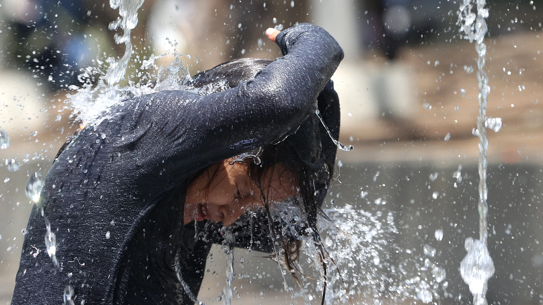
The temperatures will accompany the feeling that spring is finally beginning to settle. The maxims will rise with enthusiasm in the interior of the northeastern third of the peninsula, while in the rest they will not experience appreciable changes, except for some slight decrease on the Cantabrian coast and in the west of Andalusia.
The minimums, however, will be noted generalized riseor both in the Peninsula and in the Balearic Islands, which will restrict frost to the highest areas of the Pyrenees.
The dawn will leave banks of fog in the northern mountains and around the Strait, a phenomenon that early morning drivers should watch out for.
In Canary Islandsthe archipelago will remain margin of peninsular instability, with cloudy skies on the northern slopes of the mountainous islands, some weak rains and the trade wind blowing moderately, although with strong intervals and very strong gusts in exposed areas.
He wind On the peninsula it will be from the west, except in the east, where the southeast will prevail, and strong intervals of north wind are only expected in the Ampurdán during the hours before dawn. In short, a Sunday that asks caution there where the thermometer and the orography combine to raise storm clouds.