
The State Meteorological Agency has issued a special warning in anticipation of a marked pocket of instability that will remain anchored over the north and northeast of the peninsular territory throughout Sunday.
Unlike previous days, where the rainfall showed a more erraticprediction models point to a very defined concentration of storm cores in very specific areas of the interior and northern mountain systems.
This atmospheric configuration will draw a country clearly game in two halves: one where it will be necessary to take extreme caution in the face of adverse phenomena and another where the thermometers will invite outdoor activities without meteorological shocks.
Synoptic maps reveal that the heaviest showers will download with special virulence on the Iberian Systemthe northern end of the province of Burgosthe bank of the Ebrothe Foral Community of Navarre and the slope pyrenean.
In these demarcations, the combination of heating daytime with the remaining cold air at altitude will lead to the formation of vertically evolving clouds capable of generating dry storms or storms accompanied by locally heavy precipitation.
Emergency services pay attention not only to the accumulation of water in short periods, but also to the possible irruption of very intense gusts of wind associated with the downdrafts of the storms and the eventual fall of hail of a certain size.
More isolated and less likely, these stormy showers could extend your radius of action towards the summits of the Central System, the Serranía de Cuenca and scattered points of the Cantabrian Mountains.
Thermal contrast and intense winds in the Canary archipelago
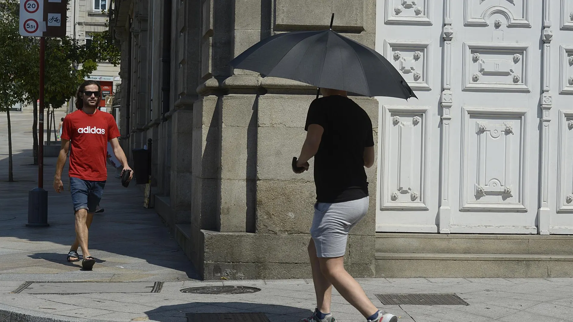
At the opposite end of the national meteorological panorama is the most of the peninsular territory, where an anticyclonic situation will predominate that will guarantee the opening of wide clearings.
The central and southern regions and the Mediterranean coasts will dawn with some cloud banks low that will dissipate quickly to give way to a practically clear sky or adorned only by veils of high clouds without any consequence.
Regarding the thermal values, the general trend will be stabilityalthough a notable rise in the maximums is expected at the extreme northern Galiciaa contrast that will slightly soften the feeling of morning freshness in that northwest corner.
The situation in Canary Islands will require separate follow-up due to the episode of haze that will still persist, although it will tend to refer progressively starting with the islands of the western province.
The wind will be another of the prominent protagonists in the archipelago, with gusts that may reach very strong intensity from the south in the peak areas of Tenerife and La Palma, and more specifically in La Gomera and Gran Canaria.
In the Peninsulathe winds will be variables in the interior and an eastern component in the Cantabrian Sea, where strong intervals to the north of the Galician community are not ruled out, as well as moderate easterly winds with possible vigorous gusts in the Strait area.