
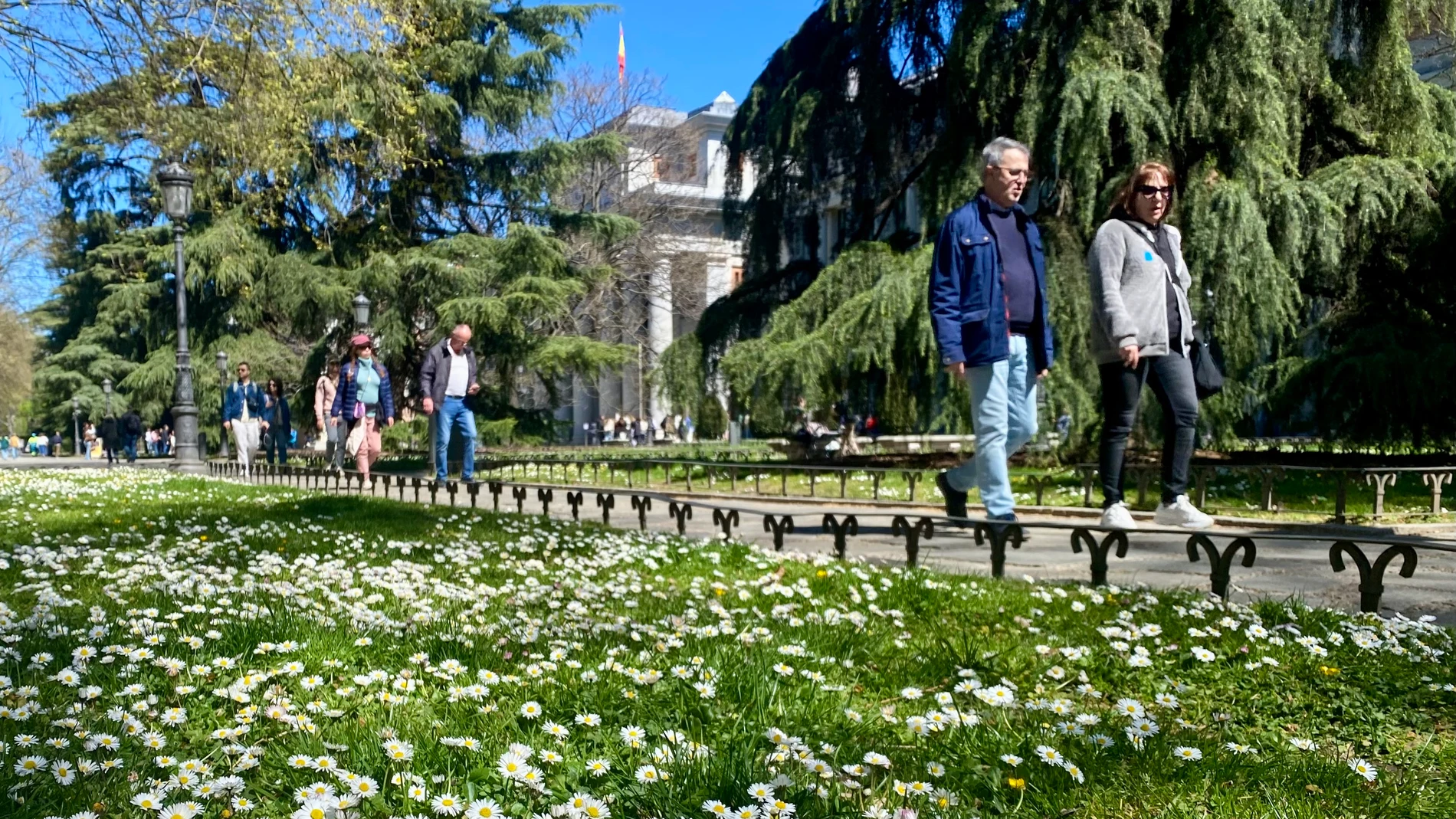
Spain says goodbye to the winter episode of recent days to give way to a week of anticyclonic weather and unusual heat.
As reported Ruben del Campospokesperson for the State Meteorological Agency (AEMET), to From Wednesday the maximums will exceed 25 degrees in large areas of the countryfavoring a warm environment with values much higher than usual for these April dates.
Precipitation will be scarce and will be restricted mainly to the extreme north and the Canary Islands.
According to information from Meteored, the person responsible for this radical change is a powerful subtropical ridge that will be installed on the Peninsula.
Samuel Bienerclimatologist of said entity, highlights that after the passage of the recent trough, the instability will subside to give way to a scenario of clear skies and a thermal rise that will be especially notable in the interior and the northern third of the peninsula.
According to Meteored data, starting Friday the environment will be practically summer in much of the country. If the predictions of their models are met, the next weekend thermometers could touch the 30 degrees in the Guadalquivir Valley.
Biener also warns that this episode will be accompanied by a marked thermal amplitudewith still cool nights that will contrast with the intense heat of the central hours of the day.
Tuesday and Wednesday: turn towards stability
This Tuesday we expect a notable and widespread thermal rise. Cities in the center and north will already exceed 20 degrees, while in the Guadalquivir Valley it will reach 25 degrees.
On Wednesday stability is consolidated and temperatures will rise again, especially in the east of the peninsula. In the north of the peninsula the values will now be above normal for the time.
Peak heat
The peak of heat will arrive from Friday. According to the AEMET, cities like Badajoz or Seville will reach between 28 and 30 degreesstanding between 5 and 10 degrees above the climatic average. In Madrid either Saragossa It will be around 26-28 degrees.
Little rain and possible storms
As for the rains, the information from Meteored indicates that they will be limited to the extreme north (Galicia and Cantabrian communities) and will be increasingly weaker. However, the formation of spring storms in mountain areas between Friday and Sunday.
Canary Islands: intense trade winds
In the Canary archipelago, the trade winds will blow strongly for much of the week, leaving light rains on the mountainous islands. However, Meteored predicts that the wind will calm down for the weekend, which could raise temperatures on the islands and facilitate the arrival of haze
Uncertainty for Sunday
Although the week ends with a summer atmosphere, uncertainty increases for Sunday, when some scenarios suggest a possible increase in instability and a slight thermal drop.