
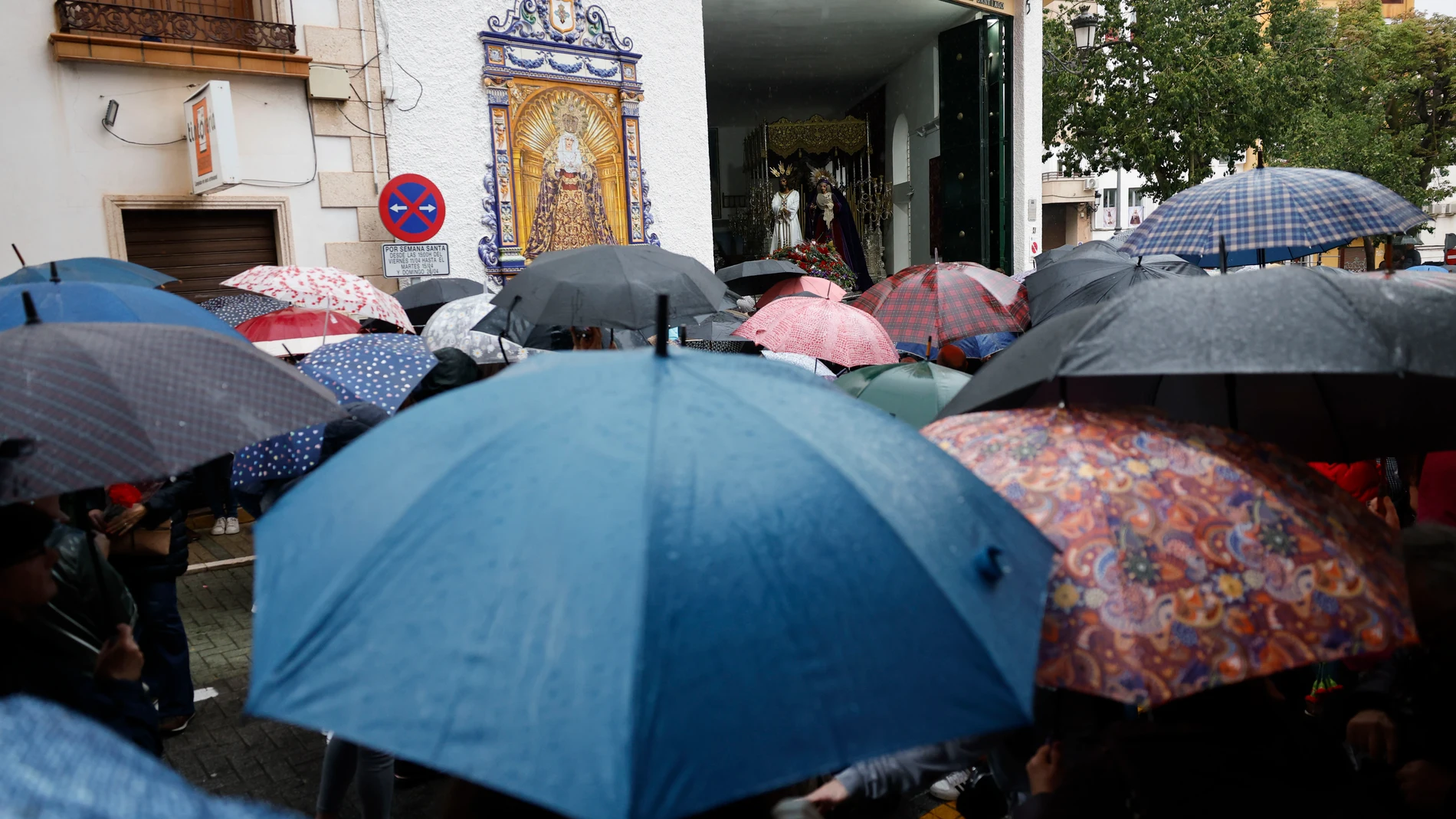
He time at Easterafter a start marked by cold and rain in several areas of the country, now draws a more favorable outlook for the central days, with the anticyclone gaining prominence and leaving a drier and temperate environment in much of Spain, although with some exceptions
According to the latest special prediction of the State Meteorological Agency (AEMET)Spain is heading towards a scenario of generalized stability, although marked by a flow of a northern component that will maintain the open umbrella in the extreme north and the Balearic Islands.
AEMET forecast from Holy Monday to Holy Thursday
The AEMET confirms that, between Monday the 30th and Thursday the 2nd, stability will predominate in almost the entire Peninsula. However, The northerly flow will leave weak and persistent precipitation in the extreme north. A key fact is the rise in the snow level: after a cold start with levels of 600 to 800 meters, it will rise above 1,300 or 1,500 meters in the coming days.
The state agency also closely monitors a low pressure system in the Mediterranean which, although with some uncertainty in its position, could leave showers in the Balearic Islands and the northeast of the peninsula between Wednesday and Thursday. Temperatures will begin a notable rise, causing the frosts to recede towards the mountain areas and the northern plateau.
Final stretch: from Good Friday 3 to Sunday 5
Looking ahead to the period from Friday the 3rd to Sunday the 5th, the AEMET predicts with considerable certainty that the situation of stability will continue thanks to the predominance of high pressures. The Atlantic circulation and The passage of weakened fronts will be limited to the extreme north of the peninsula, where low cloudiness and weak rainfall are expected, with skies that will be clear after the passage of each front. Snowfall is expected in the mountains of the extreme north, being heavier on Friday in the Pyrenees.
In the rest of the Peninsula and the Balearic Islands the weather will be stable, with little cloudiness and no precipitation. The rise in temperatures will continue to be marked in the maximums, leaving the frosts restricted only to the summits. The wind will blow from light to moderate from the north and west, with very strong gusts in the northeast and the Balearic Islands, while in Alborán it is expected to east and in the Canary Islands a moderate trade wind with clouds is expected to the north of the mountainous islands.
The coat of arms of the Azores
Reinforcing this scenario, Meteored analyst Duncan Wingen highlights the emergence of a determining factor: the Azores Anticyclone. This high pressure giantyes will be reinforced together with Portugal and Galicia, reaching a pressure in its core of 1040 hPa, which will function as a impassable protective shield for Atlantic storms.
Thanks to this blockade, Wingen points out that, for the first time in many years, a Holy Week completely free of rain in communities such as Andalusia, Extremadura, Castilla-La Mancha and Madrid. However, he warns that the Tramontana will continue to blow strongly in the western Mediterranean, keeping the atmosphere cool in the northeast and the Balearic Islands until Wednesday.
According to Meteored, the week begins with rains concentrated on the Cantabrian slope and the Pyrenees, especially in Cantabria, the Basque Country and Navarrawith a snow level it will quickly rise from 500 to 1300 meters. On Tuesday the rains in these areas, extending to La Riojawhile in the rest of Spain, stability will dominate.
He Wednesdaya new entry of north wind will keep the rains in the eastern Cantabrian Sea and the Pyreneeswith the possibility of extending to the northeast of Catalonia and the Balearic Islands. In the rest of the country, the day will be dry and stable.
He Maundy Thursday It will present a very similar situation, and on Good Friday there will only be light rains in the extreme north, mainly in Cantabria and the Basque Country. Looking ahead to the weekend, the European model foresees a total withdrawal of rainfall throughout the country, consolidating a scenario of generalized stability.